Land For Sale | Cowboy Meadows - Chautauqua, Kansas - 8.97 Acres, Tract 21


FSBO 8.97 Acres in Chautauqua, Kansas
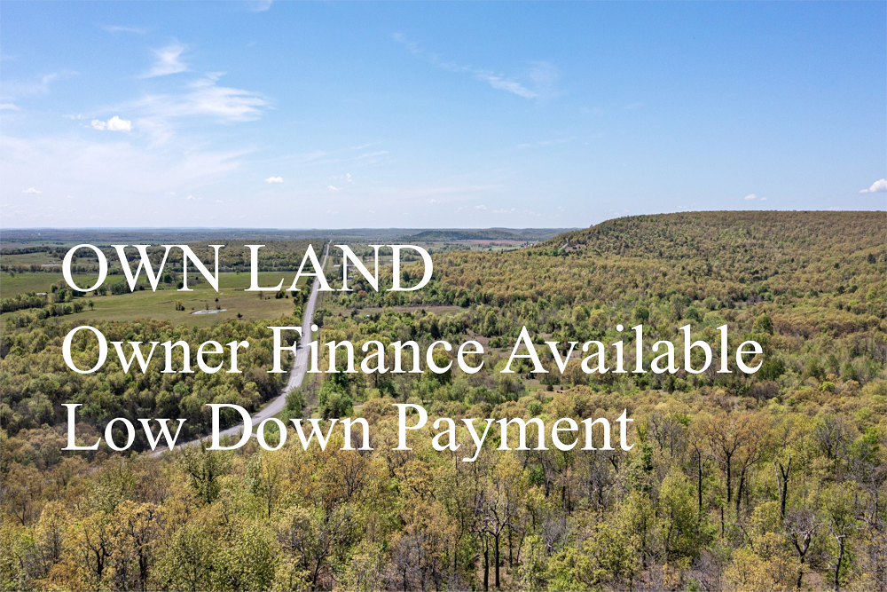
Cowboy Meadows Tract 21
Description
Tract 21 is 8.97 +/- acres with a great location centrally within Cowboy Meadows. This property is 100% beautiful rolling meadows with amazing views throughout. There is an unmaintained dirt road located along the western and northern borders of this property, providing great access to it. If you are looking for a weekend getaway or small hunting tract, then this would be the perfect place! Plenty of spots for a cabin, RV, etc..
Local Attractions
- Walgreens, 19.1 miles, Drugstore chain with healthbeauty aids, prescriptionsphoto services, plus mini-mart basics.
- The UPS Store, 19.2 miles, Store offering shipping, packaging, printingother services, plus office supplies.
- Cheyenne Ridge RV Park, 4.9 miles, Cheyenne Ridge RV Park, located in 2015 Cr 1900, Caney
- Hilton Garden Inn Bartlesville, 19.0 miles, Contemporary lodging with a restaurantindoor saltwater pool, plus free WiFiparking.
- Hampton Inn Bartlesville, 18.8 miles, Straightforward lodging with free hot breakfastWi-Fi, plus an indoor pool, a whirlpoola gym.
- White Ranch, 2.3 miles, White Ranch, located in 1609 CR 2900 Road, Caney
Questions? CAll 469-361-8487
Tract Details
- Questions? Call: 469-361-8487
- Status: FOR SALE
- Price: $39,530.00
- Parcel: Tract 21
- Acres: 8.97
- Latitude: 37.02552
- Longitude: -95.9736
- Covenants: View
- To Visit, The following are Important..
- Map To Primary Access Path:View View
- Survey: View
- Tract GPS Borders:
37.03148,-95.98022
37.03147,-95.97621
37.03056,-95.97621
37.03057,-95.9802 - All Tract Coordinates: View
- Tract Layout (T1):

- Code: CBM-T21
- SKU: kansas-chautauqua-cowboymeadows-T21
Code:CBM-T21
SKU: kansas-chautauqua-cowboymeadows-T21
Price: $39,530.00
Parcel: Tract 21
Acres: 8.97
Latitude: 37.02552
Longitude: -95.9736
To Visit, Primary Access Route:
https://www.google.com/maps/place/37.02552,-95.9736
Survey:
https://d31w3hofg2vu6m.cloudfront.net/uploads/2023/08/cowboy-meadows-survey.pdf
Tract GPS Borders:
37.03148,-95.98022
37.03147,-95.97621
37.03056,-95.97621
37.03057,-95.9802
Direct Links to Pins:
https://www.google.com/maps/place/37.03148,-95.98022
https://www.google.com/maps/place/37.03147,-95.97621
https://www.google.com/maps/place/37.03056,-95.97621
https://www.google.com/maps/place/37.03057,-95.9802
Tract Layout Image:
https://LandAndCreek.com/Uploads/Images/Property/kansas/chautauqua/cowboymeadows/T21/T1.jpg?v=CBM-T21
Covenants:
https://d31w3hofg2vu6m.cloudfront.net/uploads/2023/08/cowboy-meadows-covenants.pdf