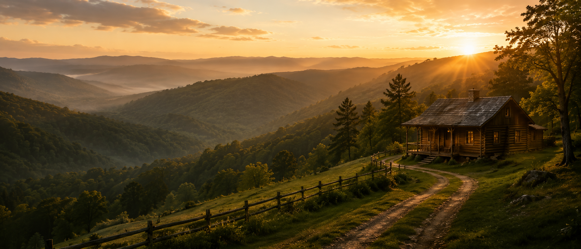
Blackstone Mountain Phase II Tract 64
Land for Sale in Clay County, Kentucky
Currently available with 17.92 acres.
Currently priced at $33,121.
Contact Land & Creek at: 469-361-8487
View Other Tracts Deal Estimator Map to Blackstone Mountain Phase IISKU: kentucky-clay-blackstonemountainphaseii-T64 | Slug: blackstone-mountain-phase-ii-T64
Tract Summary
Blackstone Mountain Phase II Tract 64
State: Kentucky
County: Clay
GPS: 37.03053, -83.70196
Acres: 17.92
Price: $33,121.00Deal Estimator
Survey: Click to Open
Coordinates: Click to Open
Covenants: Click to Open
Updated: 07/15/2026
Status: FOR SALEContact Land & Creek
469-361-8487Blackstone Mountain Phase II Tract 64
Review the available survey, coordinate file, and covenants for this specific tract before visiting or purchasing. Map pins and parcel lines are approximate and should be verified against the available documents.
Blackstone Mountain Phase II Tract 64
Blackstone Mountain Phase II Tract 64
Nearby / Local Notes
- Advance Auto Parts, 8.4 miles, Chain stocking a wide variety of automotive partsaccessories such as batteriesoil filters.
- Family Dollar, 14.9 miles, Discount chain carrying a variety of goods, including groceries, household itemsbeauty products.
- Holiday Inn ExpressSuites London, an IHG Hotel, 22.6 miles, Straightforward lodging with an indoor poolfitness center, plus free breakfastWiFi.
- WKDP-FM Corbin, 16.1 miles, WKDP-FM Corbin, located in Gray
- Union Commonwealth University, 15.1 miles, Union Commonwealth University, located in 310 College Street, Barbourville
- Country InnSuites by Radisson, London, KY, 22.7 miles, Informal hotel featuring an indoor pool, a gyma complimentary hot breakfast buffet.
Additional Property Information
Plat / Tract Layout

Map to Blackstone Mountain Phase II Tract 64
Map Disclaimer:
Parcel boundaries, pins, and tract locations shown on this map are approximate and for visual reference only.
Boundaries are generated from coordinate data and may not reflect the exact shape of roads, streams, or other
natural features that the legal survey follows. This map is not survey-grade and should not be used for legal,
engineering, or surveying purposes.
View Full Disclaimer
Photos of Blackstone Mountain Phase II Tract 64


Questions About Blackstone Mountain Phase II Tract 64
Quick answers for location, acreage, pricing, documents, owner financing, access, and how to view the other tracts at Blackstone Mountain Phase II.
Code:BSMPII-T64
SKU: kentucky-clay-blackstonemountainphaseii-T64
Price: $33,121.00
Parcel: Tract 64
Acres: 17.92
Latitude: 37.030533
Longitude: -83.70196
To Visit, Primary Access Route:
https://www.google.com/maps/place/37.03053,-83.70196
Survey:
https://d31w3hofg2vu6m.cloudfront.net/uploads/2023/08/blackstone-mountain-phase-ii-survey.pdf
Tract GPS Borders:
37.05211,-83.68497
37.05523,-83.68747
37.05255,-83.68501
37.05337,-83.68422
37.05401,-83.68385
37.05642,-83.6855
Direct Links to Pins:
https://www.google.com/maps/place/37.05211,-83.68497
https://www.google.com/maps/place/37.05523,-83.68747
https://www.google.com/maps/place/37.05255,-83.68501
https://www.google.com/maps/place/37.05337,-83.68422
https://www.google.com/maps/place/37.05401,-83.68385
https://www.google.com/maps/place/37.05642,-83.6855
Tract Layout Image:
https://landandcreek.com/Uploads/Images/Property/kentucky/clay/blackstonemountainphaseii/T64/T1.jpg?v=BSMPII-T64
Covenants:
https://d31w3hofg2vu6m.cloudfront.net/uploads/2023/08/blackstone-mountain-phase-ii-covenants.pdf