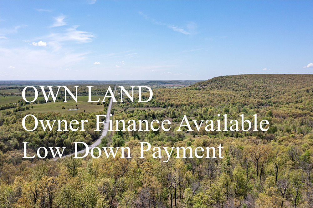
Land For Sale | Blackstone Mountain Phase II - Clay, Kentucky - 7.72 Acres, Tract 76


FSBO 7.72 Acres in Clay, Kentucky
Blackstone Mountain Phase II Tract 76
Description
Tract 76 is located off of an unmaintained dirt road. This tract is very wooded with tall, beautiful trees. Being a short drive from town, yet set very private and secluded, this property would be perfect for the outdoor enthusiast, off-road vehicle pro, and/or serious hunter with all of the incredible game in the area! While you have the freedom to use the property as you please, 4×4 is required for this development and building is not suitable due to the steep terrain.
Local Attractions
- Advance Auto Parts, 8.4 miles, Chain stocking a wide variety of automotive partsaccessories such as batteriesoil filters.
- Family Dollar, 14.9 miles, Discount chain carrying a variety of goods, including groceries, household itemsbeauty products.
- Holiday Inn ExpressSuites London, an IHG Hotel, 22.6 miles, Straightforward lodging with an indoor poolfitness center, plus free breakfastWiFi.
- WKDP-FM Corbin, 16.1 miles, WKDP-FM Corbin, located in Gray
- Union Commonwealth University, 15.1 miles, Union Commonwealth University, located in 310 College Street, Barbourville
- Country InnSuites by Radisson, London, KY, 22.7 miles, Informal hotel featuring an indoor pool, a gyma complimentary hot breakfast buffet.
Questions? CAll 469-361-8487
Tract Details
- Questions? Call: 469-361-8487
- Status: FOR SALE
- Price: $20,141.00
- Parcel: Tract 76
- Acres: 7.72
- Latitude: 37.030533
- Longitude: -83.70196
- Covenants: View
- To Visit, The following are Important..
- Map To Primary Access Path:View View
- Survey: View
- Tract GPS Borders:
37.0552,-83.70294
37.05643,-83.7039
37.05554,-83.70324
37.05584,-83.7047
37.05586,-83.70518
37.05557,-83.7058
37.05562,-83.70632
37.05431,-83.70563 - All Tract Coordinates: View
- Tract Layout (T1):

- Code: BSMPII-T76
- SKU: kentucky-clay-blackstonemountainphaseii-T76
Code:BSMPII-T76
SKU: kentucky-clay-blackstonemountainphaseii-T76
Price: $20,141.00
Parcel: Tract 76
Acres: 7.72
Latitude: 37.030533
Longitude: -83.70196
To Visit, Primary Access Route:
https://www.google.com/maps/place/37.03053,-83.70196
Survey:
https://d31w3hofg2vu6m.cloudfront.net/uploads/2023/08/blackstone-mountain-phase-ii-survey.pdf
Tract GPS Borders:
37.0552,-83.70294
37.05643,-83.7039
37.05554,-83.70324
37.05584,-83.7047
37.05586,-83.70518
37.05557,-83.7058
37.05562,-83.70632
37.05431,-83.70563
Direct Links to Pins:
https://www.google.com/maps/place/37.0552,-83.70294
https://www.google.com/maps/place/37.05643,-83.7039
https://www.google.com/maps/place/37.05554,-83.70324
https://www.google.com/maps/place/37.05584,-83.7047
https://www.google.com/maps/place/37.05586,-83.70518
https://www.google.com/maps/place/37.05557,-83.7058
https://www.google.com/maps/place/37.05562,-83.70632
https://www.google.com/maps/place/37.05431,-83.70563
Tract Layout Image:
https://LandAndCreek.com/Uploads/Images/Property/kentucky/clay/blackstonemountainphaseii/T76/T1.jpg?v=BSMPII-T76
Covenants:
https://d31w3hofg2vu6m.cloudfront.net/uploads/2023/08/blackstone-mountain-phase-ii-covenants.pdf