Land For Sale | Rivers Edge - Jackson, Kentucky - 6.07 Acres, Tract 31

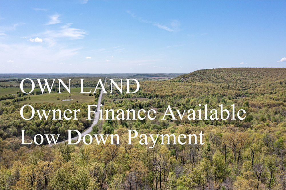


FSBO 6.07 Acres in Jackson, Kentucky
Rivers Edge Tract 31
Description
Tract 31 is located on the central part of the property with great access off an unmaintained dirt road. This tract is very wooded with tall, beautiful trees throughout. Many deer, turkey and other wildlife have been spotted in this area making this a great hunting tract! Being a short drive from town, yet set among several larger farms in the area, this property would be perfect for that person looking for a great camping parcel! This lot features plenty of space for camping and hunting , making it ideal for recreational use!
Local Attractions
- Francisco Battaglia, MD, 14.7 miles, Francisco Battaglia, MD, located in 803 Meyers Baker Road #200, London
- Owens Garden Center, 18.4 miles, Owens Garden Center, located in 735 Latham Road, Somerset
- Econo Lodge, 12.8 miles, Simply furnished budget hotel with a seasonal semi-indoor pool, plus free breakfastWIFi.
- Country InnSuites by Radisson, London, KY, 15.0 miles, Informal hotel featuring an indoor pool, a gyma complimentary hot breakfast buffet.
- Holiday Inn ExpressSuites London, an IHG Hotel, 15.0 miles, Straightforward lodging with an indoor poolfitness center, plus free breakfastWiFi.
- OneMain Financial, 8.8 miles, OneMain Financial, located in 14949 North US Highway 25 Ste 1, Corbin
Questions? CAll 469-361-8487
Tract Details
- Questions? Call: 469-361-8487
- Status: FOR SALE
- Price: $22,580.00
- Parcel: Tract 31
- Acres: 6.07
- Latitude: 37.327652
- Longitude: -84.13385
- Covenants: View
- To Visit, The following are Important..
- Map To Primary Access Path:View View
- Survey: View
- Tract GPS Borders:
37.32524,-84.14164
37.32613,-84.14219
37.32613,-84.13929
37.32586,-84.13876
37.32559,-84.13851
37.32537,-84.13845 - All Tract Coordinates: View
- Tract Layout (T1):

- Code: RVE-T31
- SKU: kentucky-jackson-riversedge-T31
Code:RVE-T31
SKU: kentucky-jackson-riversedge-T31
Price: $22,580.00
Parcel: Tract 31
Acres: 6.07
Latitude: 37.327652
Longitude: -84.13385
To Visit, Primary Access Route:
https://www.google.com/maps/place/37.32765,-84.13385
Survey:
https://d31w3hofg2vu6m.cloudfront.net/uploads/2023/08/rivers-edge-survey.pdf
Tract GPS Borders:
37.32524,-84.14164
37.32613,-84.14219
37.32613,-84.13929
37.32586,-84.13876
37.32559,-84.13851
37.32537,-84.13845
Direct Links to Pins:
https://www.google.com/maps/place/37.32524,-84.14164
https://www.google.com/maps/place/37.32613,-84.14219
https://www.google.com/maps/place/37.32613,-84.13929
https://www.google.com/maps/place/37.32586,-84.13876
https://www.google.com/maps/place/37.32559,-84.13851
https://www.google.com/maps/place/37.32537,-84.13845
Tract Layout Image:
https://LandAndCreek.com/Uploads/Images/Property/kentucky/jackson/riversedge/T31/T1.jpg?v=RVE-T31
Covenants:
https://d31w3hofg2vu6m.cloudfront.net/uploads/2023/08/rivers-edge-covenants.pdf