Land For Sale | Serenity Creek - Laurel, Kentucky - 13.16 Acres, Tract 15


FSBO 13.16 Acres in Laurel, Kentucky
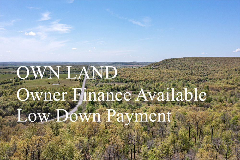
Serenity Creek Tract 15
Description
Tract 15 is a great opportunity to own a beautiful piece of Kentucky. This tract is strategically located for easy access within Serenity Creek. Being a short drive from town, yet set among several larger farms in the area, this property would be perfect for that person looking to retire, wanting a weekend getaway location or even a small hunting tract! Plenty of spots for a cabin, RV, deer stand, feeders, etc…Buy now and build later!
Local Attractions
- OneMain Financial, 10.7 miles, OneMain Financial, located in 14949 North US Highway 25 Ste 1, Corbin
- Advance Auto Parts, 13.3 miles, Chain stocking a wide variety of automotive partsaccessories such as batteriesoil filters.
- Advance Auto Parts, 19.8 miles, Chain stocking a wide variety of automotive partsaccessories such as batteriesoil filters.
- WKDP-FM Corbin, 19.9 miles, WKDP-FM Corbin, located in Gray
- Country InnSuites by Radisson, London, KY, 11.3 miles, Informal hotel featuring an indoor pool, a gyma complimentary hot breakfast buffet.
- Holiday Inn ExpressSuites London, an IHG Hotel, 11.3 miles, Straightforward lodging with an indoor poolfitness center, plus free breakfastWiFi.
Questions? CAll 469-361-8487
Tract Details
- Questions? Call: 469-361-8487
- Status: PENDING
- Price: $82,520.00
- Parcel: Tract 15
- Acres: 13.16
- Latitude: 37.241516
- Longitude: -83.974075
- Covenants: View
- To Visit, The following are Important..
- Map To Primary Access Path:View View
- Survey: View
- Tract GPS Borders:
37.246968,-83.969138
37.245606,-83.965335
37.245868,-83.965244
37.246095,-83.965084
37.246589,-83.964565
37.247864,-83.967628
37.247803,-83.968095
37.247789,-83.969301 - All Tract Coordinates: View
- Use Notes:Purple
- Tract Layout (T1):

- Code: SRC-T15
- SKU: kentucky-laurel-serenitycreek-T15
Code:SRC-T15
SKU: kentucky-laurel-serenitycreek-T15
Price: $82,520.00
Parcel: Tract 15
Acres: 13.16
Latitude: 37.241516
Longitude: -83.974075
To Visit, Primary Access Route:
https://www.google.com/maps/place/37.24152,-83.97408
Survey:
https://d31w3hofg2vu6m.cloudfront.net/uploads/2023/08/serenity-creek-survey.pdf
Tract GPS Borders:
37.246968,-83.969138
37.245606,-83.965335
37.245868,-83.965244
37.246095,-83.965084
37.246589,-83.964565
37.247864,-83.967628
37.247803,-83.968095
37.247789,-83.969301
Direct Links to Pins:
https://www.google.com/maps/place/37.246968,-83.969138
https://www.google.com/maps/place/37.245606,-83.965335
https://www.google.com/maps/place/37.245868,-83.965244
https://www.google.com/maps/place/37.246095,-83.965084
https://www.google.com/maps/place/37.246589,-83.964565
https://www.google.com/maps/place/37.247864,-83.967628
https://www.google.com/maps/place/37.247803,-83.968095
https://www.google.com/maps/place/37.247789,-83.969301
Tract Layout Image:
https://LandAndCreek.com/Uploads/Images/Property/kentucky/laurel/serenitycreek/T15/T1.jpg?v=SRC-T15
Covenants:
https://d31w3hofg2vu6m.cloudfront.net/uploads/2023/08/serenity-creek-covenants.pdf