
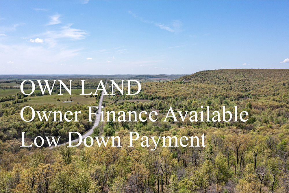


FSBO 5.16 Acres in Reynolds, Missouri
Double S Ranch Tract 6
Description
Double S Ranch Tract 6 is a 5.16 +/- acre lot with unmaintained dirt road access. Tree cover is heavy throughout, with a mix of hardwoods native to this area of the Missouri Ozarks. With a creek cutting through the border of this lot, makes it perfect for a permanent residence or a vacation getaway to enjoy hunting, camping, hiking, and all the recreational activities Reynolds County has to offer. Make this tract yours today!
Local Attractions
Questions? CAll 469-361-8487
Land For Sale | Double S Ranch - Reynolds, Missouri - 5.16 Acres, Tract 6
Map Disclaimer:
Parcel boundaries, pins, and tract locations shown on this map are approximate and for visual reference only. Boundaries are generated from coordinate data and may not reflect the exact shape of roads, streams, or other natural features that the legal survey follows. This map is not survey-grade and should not be used for legal, engineering, or surveying purposes.
View Full Disclaimer
Tract Details
- Questions? Call: 469-361-8487
- Status: FOR SALE
- Tract Features: POWER
- Price: $29,014.00
- Parcel: Tract 6
- Acres: 5.16
- Latitude: 37.28219
- Longitude: -91.12199
- Covenants: View
- To Visit, The following are Important..
- Map To Primary Access Path:View View
- Survey: View
- Tract GPS Borders:
37.281437,-91.11601
37.279913,-91.115977
37.279946,-91.115244
37.279813,-91.114091
37.28185,-91.115239 - All Tract Coordinates: View
- Tract Layout (T1):

- Code: DBSR-T6
- SKU: missouri-reynolds-doublesranch-T6
Code:DBSR-T6
SKU: missouri-reynolds-doublesranch-T6
Price: $29,014.00
Parcel: Tract 6
Acres: 5.16
Latitude: 37.28219
Longitude: -91.12199
To Visit, Primary Access Route:
https://www.google.com/maps/place/37.28219,-91.12199
Survey:
https://d31w3hofg2vu6m.cloudfront.net/uploads/2026/05/DOUBLE-S-RANCH-SURVEY.pdf
Tract GPS Borders:
37.281437,-91.11601
37.279913,-91.115977
37.279946,-91.115244
37.279813,-91.114091
37.28185,-91.115239
Direct Links to Pins:
https://www.google.com/maps/place/37.281437,-91.11601
https://www.google.com/maps/place/37.279913,-91.115977
https://www.google.com/maps/place/37.279946,-91.115244
https://www.google.com/maps/place/37.279813,-91.114091
https://www.google.com/maps/place/37.28185,-91.115239
Tract Layout Image:
https://LandAndCreek.com/default-layout.jpg?v=DBSR-T6
Covenants:
https://d31w3hofg2vu6m.cloudfront.net/uploads/2026/05/Double-S-Ranch-Covenants.pdf