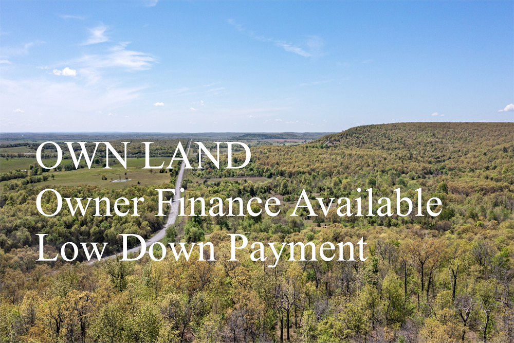
Land For Sale | Antler Ridge - Shannon, Missouri - 27.68 Acres, Tract 31


FSBO 27.68 Acres in Shannon, Missouri
Antler Ridge Tract 31
Description
Tract 31 is a great parcel as it is located directly along the private road that is accessed from the county road within the Pioneer Forest Conservation area or the main road heading down into the hollow. There is a steep elevation change to this parcel but it does have several spots of level terrain along the dirt road that runs along this ridge. You can also access from the dirt road that runs along the hollow and the small creek. Tree cover is light across the majority of this tract as it has been recently timbered; there is lots of native grasses and brush common for this area. The views from this ridge are some of the best in the entire development. This would be the perfect parcel for a small cabin, weekend hunting property or to establish a private camping site in the Ozarks. Note: This tract has a small spring located within the hollow. Most interior tracts we recommend a 4WD vehicle for access as the roads can be rough.
Local Attractions
- Bell Mountain Wilderness, 30.6 miles, Bell Mountain Wilderness is a popular destination for visitors
- Round Spring Natural Bridge, 7.5 miles, Round Spring Natural Bridge is a scenic park for hiking and nature exploration
- Johnsons Shut-Ins State Park, 27.2 miles, Roughly 13 sq. miles of rugged hiking, campingswimming in a rocky, cascading river.
- NAPA Auto Parts - Mooney Auto Supply, 21.9 miles, NAPA Auto Parts - Mooney Auto Supply, located in 604 East Scenic Rivers Boulevard, Salem
- Shelter Insurance - Brian Martin, 21.7 miles, Shelter Insurance - Brian Martin, located in 814 East Scenic Rivers Boulevard, Salem
- Mark Twain National Forest, 26.0 miles, Forested mountains with scenic rivers, lakesstreams for hiking, biking, camping, fishingmore.
Questions? CAll 469-361-8487
Tract Details
- Questions? Call: 469-361-8487
- Status: FOR SALE
- Price: $73,570.00
- Parcel: Tract 31
- Acres: 27.68
- Latitude: 37.36671
- Longitude: -91.32116
- Covenants: View
- To Visit, The following are Important..
- Map To Primary Access Path:View View
- Survey: View
- All Tract Coordinates: View
- Tract Layout (T1):

- Code: ATLRD-T31
- SKU: missouri-shannon-antlerridge-T31
Code:ATLRD-T31
SKU: missouri-shannon-antlerridge-T31
Price: $73,570.00
Parcel: Tract 31
Acres: 27.68
Latitude: 37.36671
Longitude: -91.32116
To Visit, Primary Access Route:
https://www.google.com/maps/place/37.36671,-91.32116
Survey:
https://d31w3hofg2vu6m.cloudfront.net/uploads/2023/08/antler-ridge-survey.pdf
Tract GPS Borders:
Direct Links to Pins:
Tract Layout Image:
https://LandAndCreek.com/Uploads/Images/Property/missouri/shannon/antlerridge/T31/T1.jpg?v=ATLRD-T31
Covenants:
https://d31w3hofg2vu6m.cloudfront.net/uploads/2023/08/antler-ridge-covenants.pdf