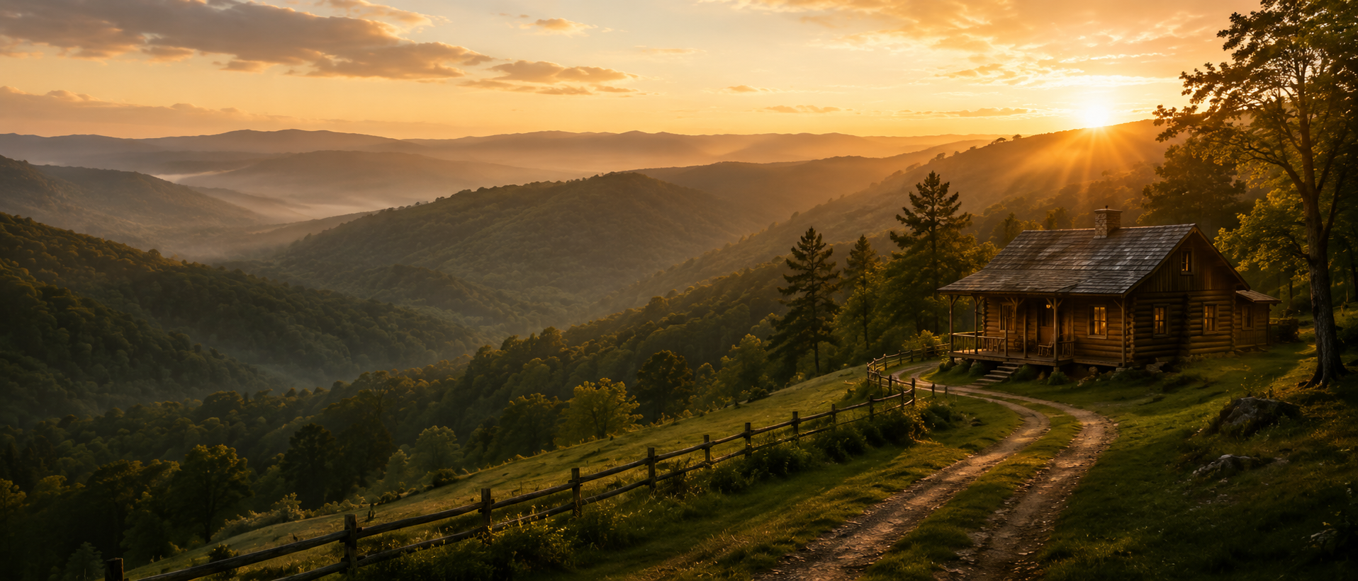
Timber Ridge Tract 14
Land for Sale in McIntosh County, Oklahoma
Currently available with 2.81 acres.
Current pricing is available by phone.
Contact Land & Creek at: 469-361-8487
View Other Tracts Map to Timber RidgeSKU: oklahoma-mcintosh-timberridge-T14 | Slug: timber-ridge-T14
Tract Summary
Timber Ridge Tract 14
State: Oklahoma
County: McIntosh
GPS: 35.34829, -95.48225
Acres: 2.81
Price: $-
Survey: Click to Open
Coordinates: Click to Open
Covenants: Click to Open
Updated: 06/29/2026
Status: SOLDContact Land & Creek
469-361-8487Timber Ridge Tract 14
Review the available survey, coordinate file, and covenants for this specific tract before visiting or purchasing. Map pins and parcel lines are approximate and should be verified against the available documents.
Timber Ridge Tract 14
Timber Ridge Tract 14
Nearby / Local Notes
- Honey Springs Battlefield, 12.6 miles, Honey Springs Battlefield is a popular destination for visitors
- Hampton Inn Muskogee, 29.3 miles, Conservative hotel offering a fitness room, a saunaan indoor pool, as well as free hot breakfast.
- James Hodge Ford Muskogee, 29.5 miles, James Hodge Ford Muskogee, located in 1200 North Main Street, Muskogee
- Robbers Cave State Park, 25.9 miles, Scenic park with lodging, campgroundsnature center plus trails, swimmingoutdoor recreation.
- Holiday Inn ExpressSuites Muskogee, an IHG Hotel, 29.4 miles, Standard hotel with a fitness centeran indoor pool, plus free continental breakfastWiFi.
- Port 66 Cabin Rentals, 8.7 miles, Port 66 Cabin Rentals, located in Checotah
Additional Property Information
Plat / Tract Layout

Map to Timber Ridge Tract 14
Map Disclaimer:
Parcel boundaries, pins, and tract locations shown on this map are approximate and for visual reference only.
Boundaries are generated from coordinate data and may not reflect the exact shape of roads, streams, or other
natural features that the legal survey follows. This map is not survey-grade and should not be used for legal,
engineering, or surveying purposes.
View Full Disclaimer
Photos of Timber Ridge Tract 14


Questions About Timber Ridge Tract 14
Quick answers for location, acreage, pricing, documents, owner financing, access, and how to view the other tracts at Timber Ridge.
Code:TBR-T14
SKU: oklahoma-mcintosh-timberridge-T14
Price: $-
Parcel: Tract 14
Acres: 2.81
Latitude: 35.34829
Longitude: -95.48225
To Visit, Primary Access Route:
https://www.google.com/maps/place/35.34829,-95.48225
Survey:
https://d31w3hofg2vu6m.cloudfront.net/uploads/2023/08/timber-ridge-survey.pdf
Tract GPS Borders:
35.35254,-95.48228
35.35254,-95.48115
35.35162,-95.48226
35.35161,-95.48116
Direct Links to Pins:
https://www.google.com/maps/place/35.35254,-95.48228
https://www.google.com/maps/place/35.35254,-95.48115
https://www.google.com/maps/place/35.35162,-95.48226
https://www.google.com/maps/place/35.35161,-95.48116
Tract Layout Image:
https://landandcreek.com/Uploads/Images/Property/oklahoma/mcintosh/timberridge/T14/T1.jpg?v=TBR-T14
Covenants:
https://d31w3hofg2vu6m.cloudfront.net/uploads/2023/08/timber-ridge-covenants.pdf