Land For Sale | Indian Ridge Phase III - Pittsburg, Oklahoma - 19.56 Acres, Tract 107
Map Disclaimer:
Parcel boundaries, pins, and tract locations shown on this map are approximate and for visual reference only. Boundaries are generated from coordinate data and may not reflect the exact shape of roads, streams, or other natural features that the legal survey follows. This map is not survey-grade and should not be used for legal, engineering, or surveying purposes.
View Full Disclaimer

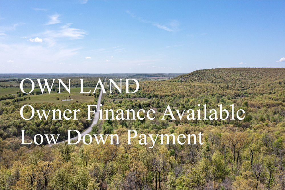


FSBO 19.56 Acres in Pittsburg, Oklahoma
Indian Ridge Phase III Tract 107
Description
Tract 107 has been surveyed into 19.56 Acres +/-. Access is via a private dirt mountain road that runs through the northeastern portion of this property (4WD recommended). This 19+ acres would be ideal for camping, outdoor recreation, hunting or building a cabin in the woods. Tree cover is medium to heavy with large rock formations across the majority of this mountain terrain tract of land. This property bordered by Grassy Creek along the entire northern boundary and has rolling to aggressive terrain at the bottom of this ridge. Property is vacant and undeveloped recreational mountain land. You will find a power line/high line easement just south of the road and crosses to the north. New owner will need to extend to their site at suppliers cost. Buy Now, Build Later!!
Local Attractions
Questions? CAll 469-361-8487
Tract Details
- Questions? Call: 469-361-8487
- Status: FOR SALE
- Tract Features: POWER
- Price: $61,982.00
- Parcel: Tract 107
- Acres: 19.56
- Latitude: 34.6266
- Longitude: -95.69562
- Covenants: View
- To Visit, The following are Important..
- Map To Primary Access Path:View View
- Survey: View
- All Tract Coordinates: View
- Use Notes:Grey
- Tract Layout (T1):

- Code: INRDPIII-T107
- SKU: oklahoma-pittsburg-indianridgephaseiii-T107
Code:INRDPIII-T107
SKU: oklahoma-pittsburg-indianridgephaseiii-T107
Price: $61,982.00
Parcel: Tract 107
Acres: 19.56
Latitude: 34.6266
Longitude: -95.69562
To Visit, Primary Access Route:
https://www.google.com/maps/place/34.6266,-95.69562
Survey:
https://d31w3hofg2vu6m.cloudfront.net/uploads/2023/08/indian-ridge-phase-iii-survey.pdf
Tract GPS Borders:
Direct Links to Pins:
Tract Layout Image:
https://LandAndCreek.com/Uploads/Images/Property/oklahoma/pittsburg/indianridgephaseiii/T107/T1.jpg?v=INRDPIII-T107
Covenants:
https://d31w3hofg2vu6m.cloudfront.net/uploads/2023/08/indian-ridge-covenants.pdf